About us
WHAT DO WE DO ?
We transform satellite, aerial, and field data into accurate maps, models, and geospatial intelligence. We deliver customized geospatial services including image classification, mapping, spatial analysis, and data integration.
WHO ARE WE ?
We are a geospatial solutions company delivering end-to-end GIS and remote sensing services for data-driven decision-making. A technology-driven company offering smart geospatial solutions across industries and landscapes.
· Meet Our Team ·
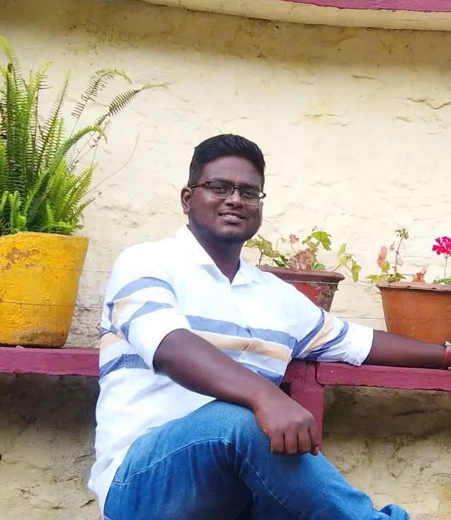
Shyam Sundhar
GIS Consultant
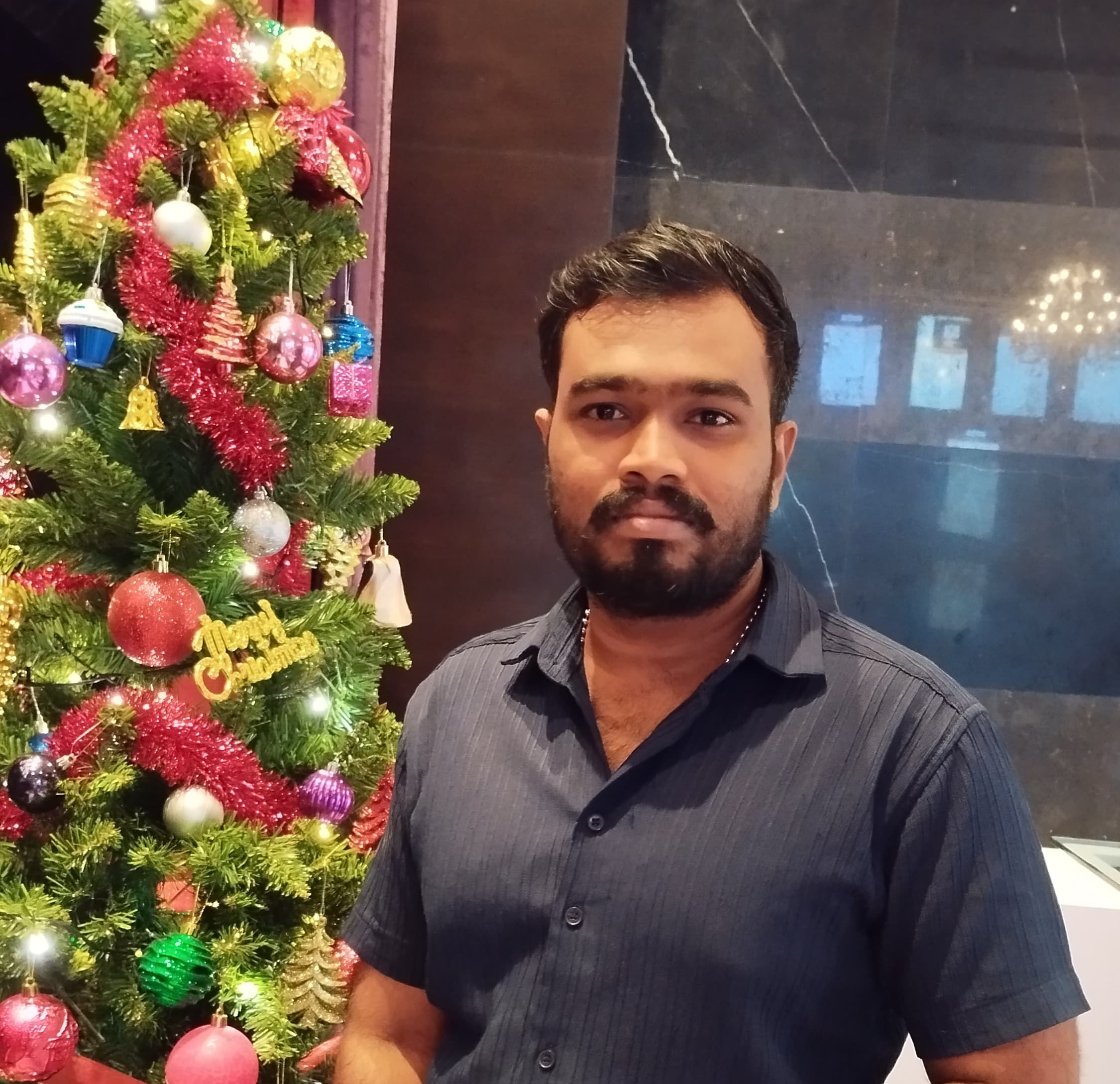
Sadhu
Geological Consultant
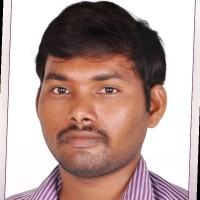
Suresh Kumar
LIDAR and CADD Project Manager


